Ben Klein · 11 September 2026
Hidden Shards and New Paths: How Road Projects and Hiking Trails Intersect with Porano's Layered Past
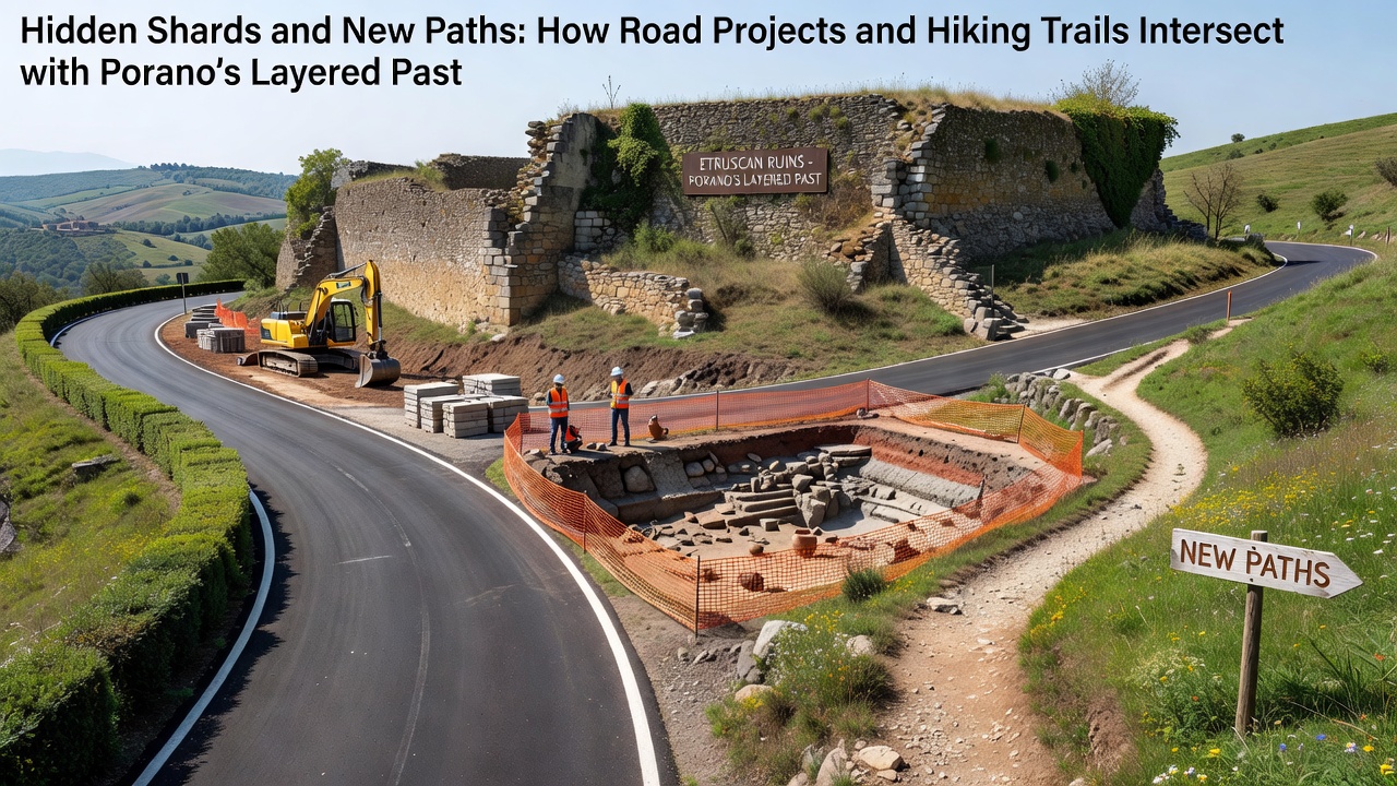
Porano sits in the rolling hills of Umbria where centuries of settlement have left behind overlapping layers of Etruscan, Roman, and medieval remains, and recent infrastructure work has brought many of those layers back into view. Road widening projects along the SP 44 route and trail maintenance on the Sentiero dei Calanchi have both produced ceramic fragments, stone tools, and building foundations that date from the sixth century BCE through the early Middle Ages. Construction crews document every find before work resumes, while regional heritage officials coordinate with engineers to adjust alignments when discoveries appear.
Porano's Archaeological Sequence
Surveys conducted by the Soprintendenza Archeologia Belle Arti e Paesaggio dell'Umbria show continuous occupation from the late Bronze Age onward, with the densest material concentrated on the ridge that now supports the modern village. Pottery scatters include bucchero ware typical of Etruscan workshops and later sigillata from Roman kilns farther south, while wall alignments traced during recent trenching match the layout of a small way-station recorded in itineraries from the first century CE. These deposits sit directly beneath current roadbeds and footpaths, which explains why every excavation phase now includes an archaeological monitor.
Road Projects and Chance Finds
Between 2024 and 2025 the provincial government widened two kilometers of the SP 44 to improve access for agricultural traffic, and the work intersected several previously unknown tombs cut into tufa bedrock. Field teams recovered over two hundred diagnostic sherds along with iron implements and a bronze fibula, all transferred to the Museo Archeologico Nazionale dell'Umbria for conservation. Engineers shifted the planned drainage ditch thirty meters downslope after the initial discovery, an adjustment that preserved an intact burial chamber while still meeting the September 2026 completion deadline set by the regional transport authority. Similar protocols now apply to any future paving or bridge replacement in the valley.
Hiking Trails as Survey Corridors
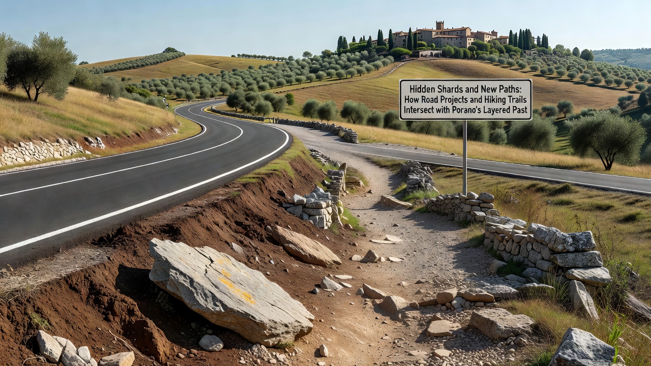
The Sentiero dei Calanchi, a ten-kilometer loop maintained by the local hiking association, crosses the same ridge system and has yielded surface collections during annual clearance work. Volunteers and park rangers record GPS locations for each fragment before the path is reopened, and the resulting dataset feeds into a regional geographic information system managed by the University of Perugia. One section near the Fosso del Malpasso revealed a scatter of roof tiles and coarseware that points to a small farmstead active between the second and fourth centuries CE, information that has prompted a controlled test excavation scheduled for spring 2027. Trail rerouting around sensitive zones occurs only when surface density exceeds thresholds defined in the regional heritage management plan.
Coordination Between Agencies
Italian law requires that any public works within designated archaeological risk zones undergo preventive assessment, and Porano falls inside one such zone mapped by the Ministry of Culture. Project managers therefore submit preliminary reports to both the Soprintendenza and the provincial roads office, after which joint site visits determine whether full excavation, sampling, or monitoring is required. Data from these assessments are shared with the European Association of Archaeologists, whose guidelines on linear infrastructure help standardize recording methods across member countries. The same framework covers trail maintenance when volunteer groups apply for regional funding, ensuring that footpath improvements do not bypass heritage review.
Public Access and Interpretation
Once finds are catalogued, selected artifacts return to Porano for display in a small exhibition space attached to the town hall. Informational panels along the Sentiero dei Calanchi now note the presence of subsurface remains without revealing exact find spots, reducing the risk of unauthorized digging while still informing visitors about the area's depth of occupation. School groups from nearby Orvieto visit the site each autumn, and the September 2026 reopening of the widened SP 44 will include a public presentation of the most recent excavation results. These events draw on documentation compiled during construction rather than on interpretive speculation.
Conclusion
Infrastructure work and recreational trail maintenance in Porano continue to intersect with the village's stratified archaeological record, producing new data under controlled conditions. Standardized procedures developed by regional authorities and academic partners ensure that discoveries are recorded, conserved, and made available for study while projects meet their technical and scheduling requirements. Ongoing monitoring along both roads and paths supplies a growing body of evidence about settlement patterns that span more than two millennia.