Leon Schmitt · 25 September 2026
Etruscan Roadwork Discoveries Illuminate Biodiversity Practices and Foster Pottery Cooperatives Across Umbria
Construction crews working on rural road upgrades in central Umbria have uncovered layers of Etruscan infrastructure dating back over two millennia, and these finds have prompted studies into ancient land management techniques that align with current biodiversity monitoring efforts while also supporting the formation of local pottery cooperatives that draw on recovered ceramic traditions.
Archaeological Context of the Road Projects
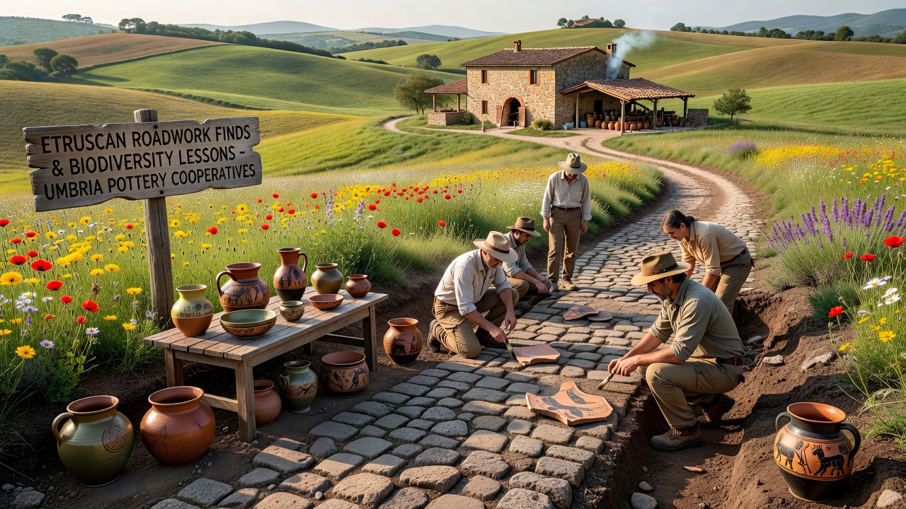
Teams from regional heritage authorities began documenting the sites in early 2025 after initial surveys detected buried stone alignments consistent with Etruscan engineering methods, and subsequent excavations through the summer revealed drainage systems along with associated pottery fragments that provide evidence of settlement patterns tied to agricultural terraces still visible in the landscape today. Researchers from the University of Perugia coordinated with infrastructure planners to adjust timelines, allowing systematic recording of each layer before work resumed, and this approach preserved contextual data that later informed analyses of soil composition and plant species distribution around the ancient routes.
Findings include wheel ruts preserved in volcanic tuff along with terracotta drainage pipes that demonstrate sophisticated water management, and these elements connect directly to surrounding habitats where native flora has persisted in patterns that echo historical land use documented in the artifacts.
Biodiversity Insights Derived from the Discoveries
Ecologists examining the sites noted that Etruscan road alignments often followed contours that minimized erosion while maintaining corridors for pollinator movement, and soil samples taken adjacent to the finds show higher microbial diversity compared with nearby modern fields that lack similar historical structuring. Data collected through 2025 and into 2026 indicate that these ancient pathways correlate with pockets of endemic plant species whose distribution maps overlap with the road networks, suggesting that the original builders incorporated observations of local ecosystems into their planning. According to reports from the European Environment Agency, such historical precedents offer comparative baselines for evaluating contemporary habitat fragmentation in Mediterranean rural zones.
Monitoring programs launched in tandem with the roadwork now track bird and insect populations along preserved sections, and preliminary figures reveal stable populations of certain ground-nesting species where drainage features continue to function, whereas areas altered without reference to the original design show measurable declines. Those studying the intersections between archaeology and ecology emphasize that the finds supply concrete examples of integrated land use rather than isolated monuments, allowing models of biodiversity corridors to incorporate verified ancient configurations.
Development of Pottery Cooperatives
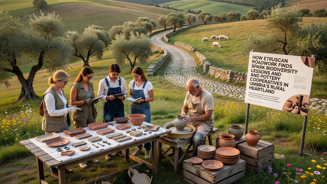
Clay analysis from the excavated fragments matched deposits still accessible in nearby hills, and this match encouraged artisans in several villages to organize cooperatives focused on reproducing vessel forms and firing methods recovered from the sites. Workshops established by late 2025 began incorporating motifs identified on the pottery shards into contemporary production lines, and sales from these items now contribute to funding further conservation of the roadwork areas. Cooperative members have documented their processes through shared technical notes that reference both the original Etruscan wheel-throwing marks and modern adaptations for consistent output, creating a feedback loop where archaeological data directly shapes economic activity.
Training sessions held across the region in the first half of 2026 attracted participants from adjacent municipalities, and enrollment records show steady growth as the cooperatives expanded to include glazing experiments based on residue studies from the finds. Regional tourism boards have listed several of these workshops on official heritage trails, directing visitors along sections of the restored Etruscan routes that now serve dual purposes as educational paths and access routes for the artisans.
Integration with Ongoing Regional Planning
By September 2026, updated road designs in the affected zones will incorporate interpretive signage at key discovery points alongside biodiversity monitoring stations, and these installations will provide real-time data feeds that link current ecological readings to the historical baselines established during the excavations. Provincial authorities have allocated portions of infrastructure budgets to support the cooperatives through small grants for equipment, ensuring that the economic dimension remains tied to the preservation mandate. Studies published by the Italian Institute for Environmental Protection and Research confirm that combining heritage protection with craft-based enterprises can sustain both cultural and natural assets when planning documents explicitly reference site-specific findings such as those from the Umbrian road projects.
Conclusion
The sequence of discoveries along Umbrian roadways continues to generate parallel streams of research into ancient environmental practices and contemporary cooperative models, and the documented connections between Etruscan engineering, soil health indicators, and revived ceramic production demonstrate how infrastructure interventions can yield layered outcomes when excavation protocols remain integrated with ecological and economic follow-up measures. Ongoing data collection through the remainder of 2026 will clarify the extent to which these initial patterns hold across additional sites.